The Weekly Send: Landslide
Discover Landslide Trail in Hidden Springs—one of Boise’s most fun, flowy descents. This 2-mile gem features smooth rhythm and fast turns, accessed by a short but steep climb. Learn about parking, seasonal closures, and why it’s a must-ride in the Boise foothills.

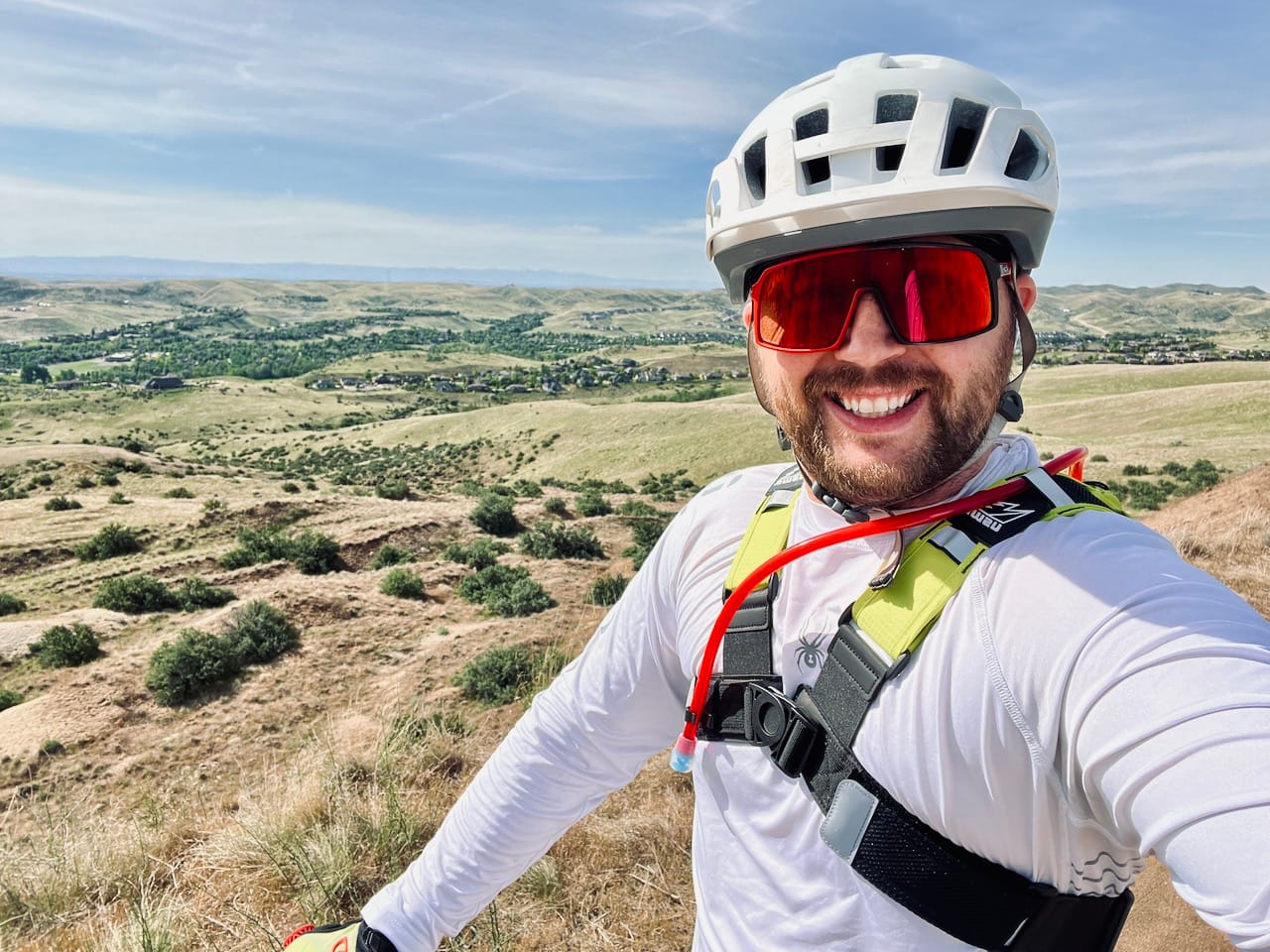
Welcome back to The Weekly Send! This week, I’m shining the spotlight on a trail that easily sits in my Top 3 foothills trails: Landslide.
This week, I’m shining the spotlight on Landslide trail. Located out in Hidden Springs, Landslide is a two-mile descent that brings the good vibes from top to bottom. To get there, you’ll climb Red Fox Trail over a small ridge, cross the road, and then make your way up to Landslide. It’s a little bit of work to access, but once you drop in, you’ll forget all about the climb.
Let me just say it: I love this trail. If every trail in the foothills rode like Landslide, I’d probably never leave the Boise. It’s got that perfect combo of flow, rhythm, and pure joy from the very first turn.
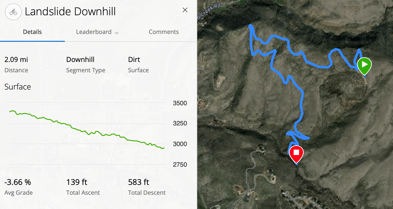
The trail is 2 miles long with about 550 feet of descent. The stats won’t blow anyone away, but somehow, it still delivers one of the most fun descents in the Boise area. It’s the kind of trail that has you grinning like a kid by the time you hit the bottom.
But First… The Climb
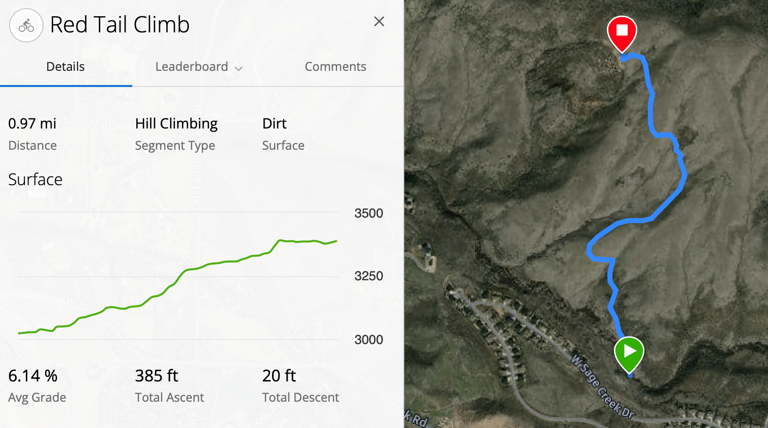
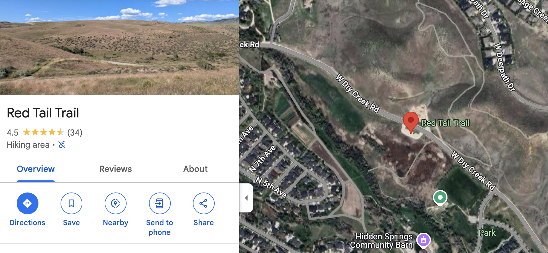
Now, before you earn those good times, there’s Red Tail Trail.
To get to Landslide, you’ve got to grind your way up this 1 mile climb that averages an 6.14% grade. And yes, some sections hit 10%, just to keep you humble. This is just across Sage Creek Road (note you cannot park back here, you will need to park at the trailhead listed below).
I still remember my first ride up Red Tail. It was the middle of summer, no shade, I was dying from the heat, and questioning my life choices to go check out this trail. But then I dropped into Landslide, and all that suffering just... vanished.
It’s that good.
Parking
Alright, let’s talk parking because this part gets weird.
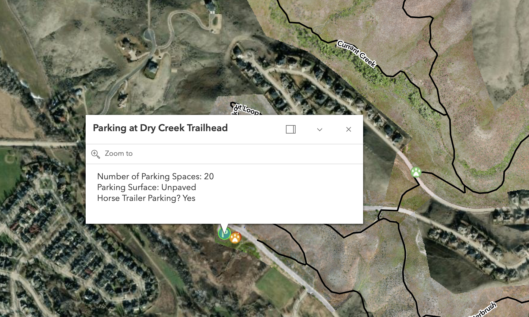
On the Ridge to Rivers website, the lot is listed as the “Dry Creek Parking Lot.”But let’s be honest, when Boise bikers say “Dry Creek parking lot,” they’re talking about the one on Bogus Basin Road (next to Sweet Connie), not Hidden Springs. That being said, this trailhead is officially called Dry Creek Trailhead.
But around here, we call it what Google Maps calls it: Red Tail Parking Lot.
✅ Just search Red Tail Trailhead and you’re good.
⚠️ Heads up: Ridge to Rivers announced that this lot is getting an “upgrade” soon, so parking might be a bit chaotic in 2025. Plan accordingly.
Seasonal Closure Alert!
One more important note: Landslide is closed every year from December 1st through March 31st for winter wildlife protection.
Final Thoughts
Landslide may not be the longest or steepest trail in the foothills, but it’s easily one of the most fun. If you're looking for a quick hit of flow that makes every pedal stroke up Red Tail worth it, this is your trail.
It’s short. It’s sweet. And it’s everything I want from a Boise foothills ride. Don’t forget to get it a ride before the summer heat kicks in, but not when it's muddy!
Forever Two Wheels!
-Myles
GoPro Footage of Landslide from the top
GoPro Landslide Trail