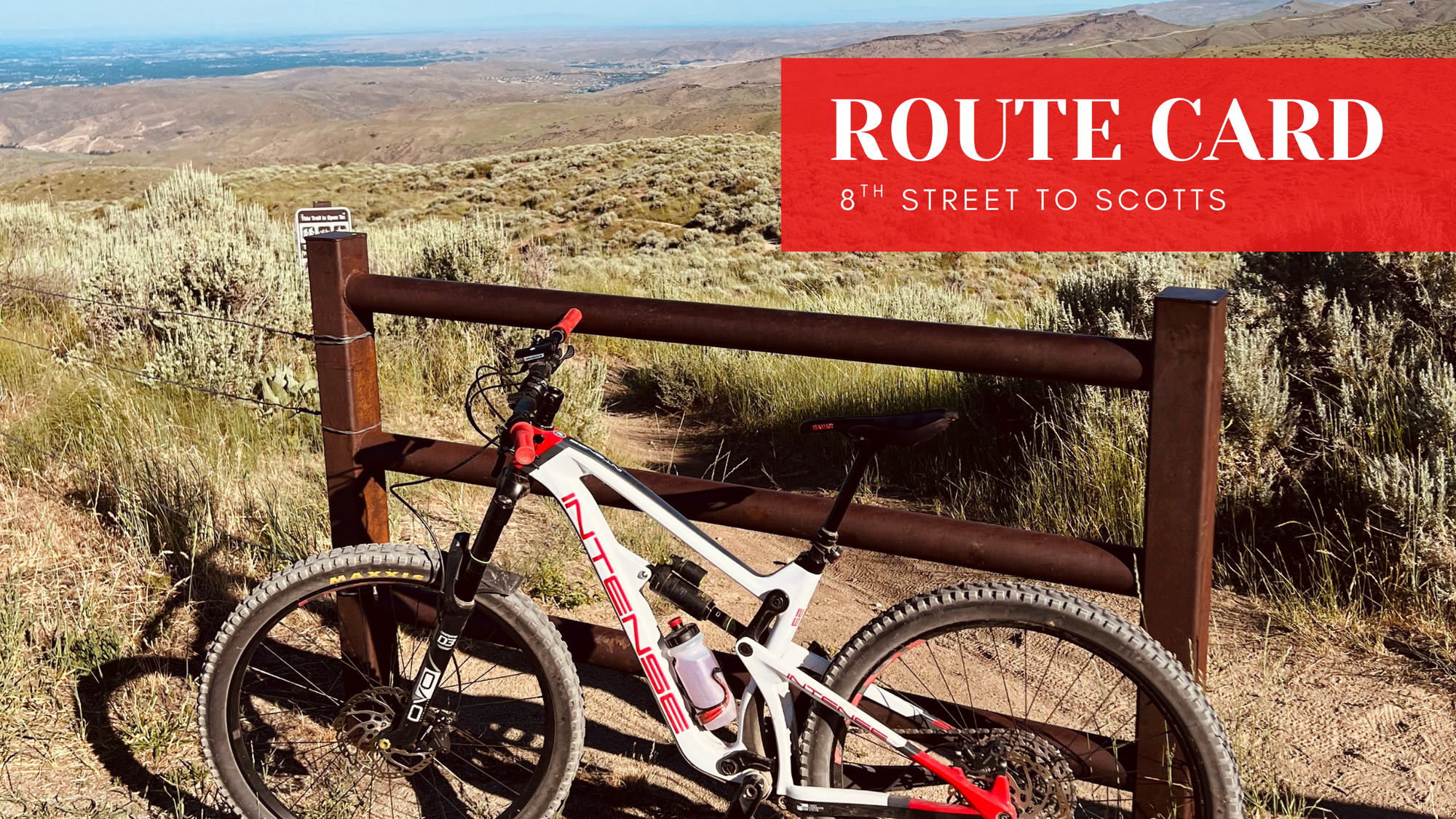
Route Card: 8th Street to Scotts
These are routes I’ve ridden over the years, everything from quick after work loops to big days during the Trail Challenge, plus a few shuttle laps mixed in.

For the off season this year, I’m sharing a series of Route Cards pulled straight from my Strava history. These are routes I’ve ridden over the years, everything from quick after work loops to big days during the Trail Challenge, plus a few shuttle laps mixed in. The goal isn’t to over explain or turn these into full ride guides. It’s to give you simple, proven route ideas you can bookmark now and come back to when 2026 rolls around. Think of these as quick reference cards for exploring new areas, linking trails more confidently, and getting out of your normal riding routine.
Quick Stats
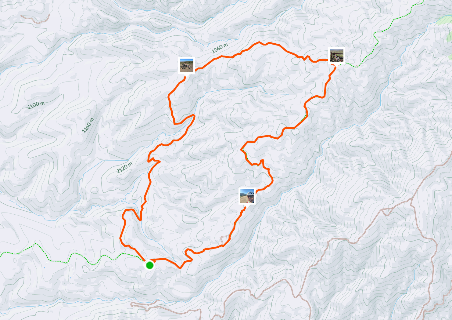
- Distance: 7 miles
- Elevation Gain: 1,335'
- Ride Time: 90 minutes
- Difficulty Level: Intermediate. Majority of this climb is dirt road.
- Strava Link
Route Snapshot
I'm be real with you on this one. I hated this ride. This was for the Boise Trail Challenge and it was the last year I attempted it. That year sucked all the fun out of riding my bike and turned it into a chore. Why am I saying this? Well, that summer is the reason I started this website. I learned a lot about myself and why I ride mountain bikes. It's a challenging loop that is doable in the Boise Foothills, even if I look back on this loop and groan a little. But the point of this blog series is to share my past rides, and I did complete this one.
This ride has far more climbing than descending. It's a long, rough climb up to Scotts trail and a very fast descent to Corrals trail and back. The majority of the time on this ride will be spent climbing 8th street road. Just keep that in mind on this route. It's not a ride I would recommend in the heat of the summer as there is no shade on the entire ride. So early morning or on cooler days is recommended.
Simple Route Directions
- Start at 8th street OHV parking lot
- Climb up 8th street road
- Connect to Scotts Trail
- Descend Scotts trail to Corrals
- Climb Corrals to 8th street
- Return to trailhead
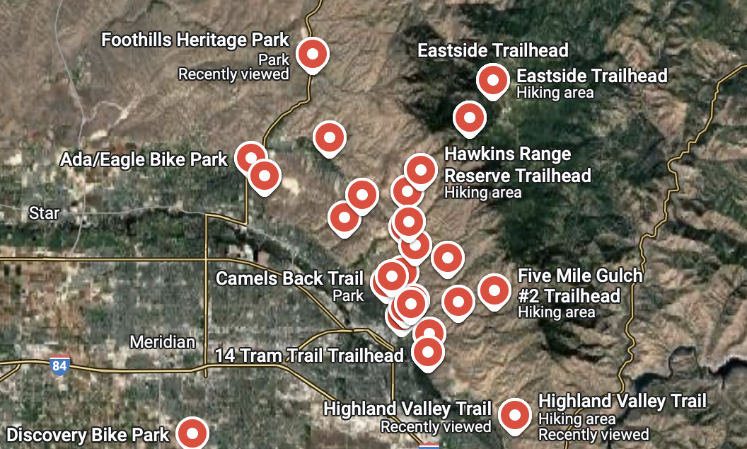
To make things even easier, I have created a public Google Maps guide with pins for every major Boise trailhead and bike park. It’s a simple way to see where to park and how to access the trails. Whether you're planning your first ride or looking for a new spot to explore, this guide has you covered.
More Route Cards are coming every week throughout January and February. This series is meant to be a growing library of ride ideas you can save, revisit, and pull from when you’re ready to explore something new in 2026.
If you want these sent directly, subscribe to the Filthy Casual newsletter. That’s where I’ll be sharing new Route Cards, updates, and future ride projects first.
Forever Two Wheels!
-Myles