Boise Ride Guide: Polecat Loop (2024 Edition)
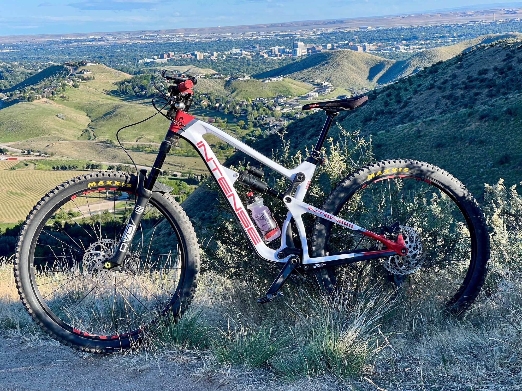
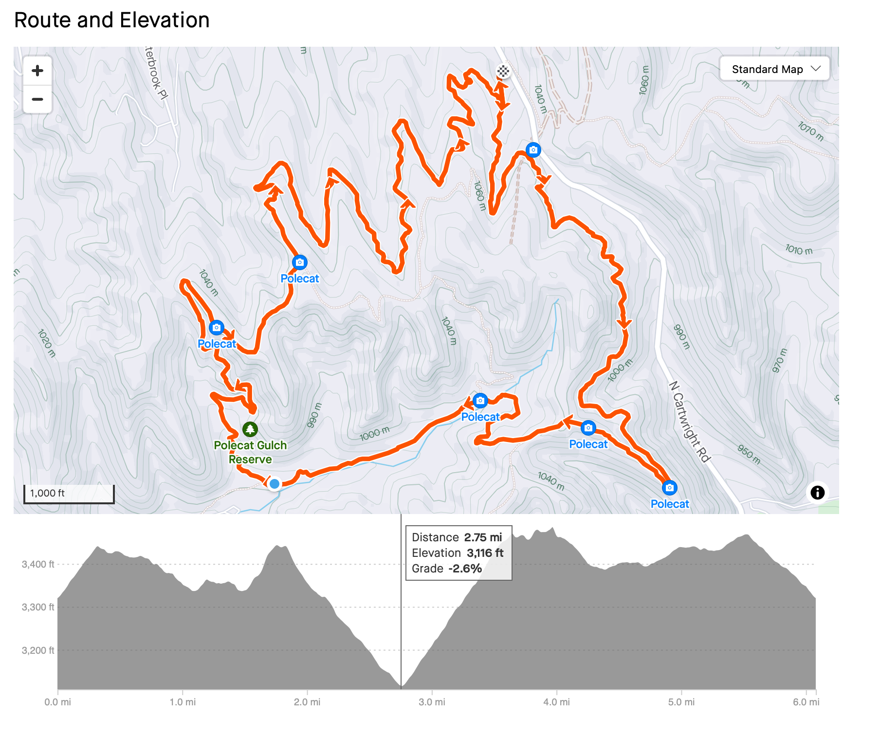
Alright, let’s talk about one of my favorite loops in Boise, Polecat Loop. If you’ve been around the trails for a minute, you know this one changes direction every year. For 2024, it’s a clockwise affair, with 6 miles of fun, 750 feet of climbing, and a ride time of 60 to 90 minutes depending on your pace. So make sure you’re heading the right way unless you want some awkward head-on moments.
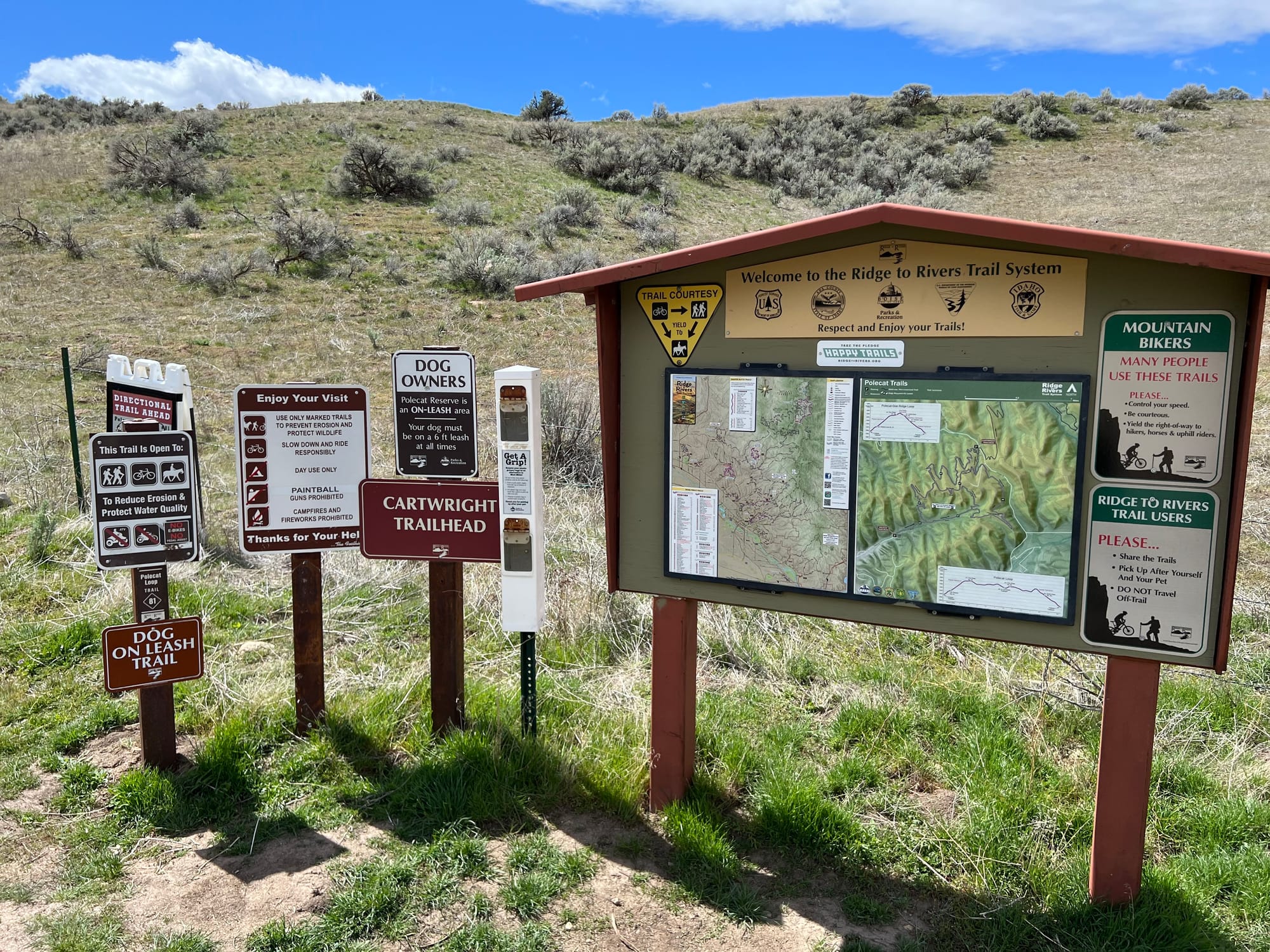
This loop’s got two parking options. Personally, I like to mix it up. While I usually start from the lower lot, this time I kicked things off at the upper lot. Well, the upper lot gets you into the action faster with the direction the trail is going this year and who doesn’t love skipping the warm-up and diving into the fun right away?
Once you’re rolling, there’s a short climb to get the blood flowing, and then you’re flowing along a sidehill, skimming above Cartwright Road. It’s fast and fun, with just enough exposure to keep you focused. (I'll get some GoPro footage of this section online soon).
Soon, you switch back up and head into the draw where things get interesting. Here is you will encounter a multidirectional connector trail. Watch for hikers in this area, the sagebrush can block your view in some spots. Just when you’re starting to feel good, you’ll hit the connector to the lower parking lot. But we’re not going that way, we’re going right into the pain cave.

Let me tell you, this climb is a bit of a monster. It’s become a weirdly fun challenge for me, but out of all the times I’ve ridden it, I’ve only cleaned it once (yeah, I know, but just remember the name of the website you're on right now). It’s a grind with barely any breaks, plus some steep punches just to remind you who’s boss. Keep an ear out for rogue downhillers, because there’s always that one local hotshot blasting down the wrong way.
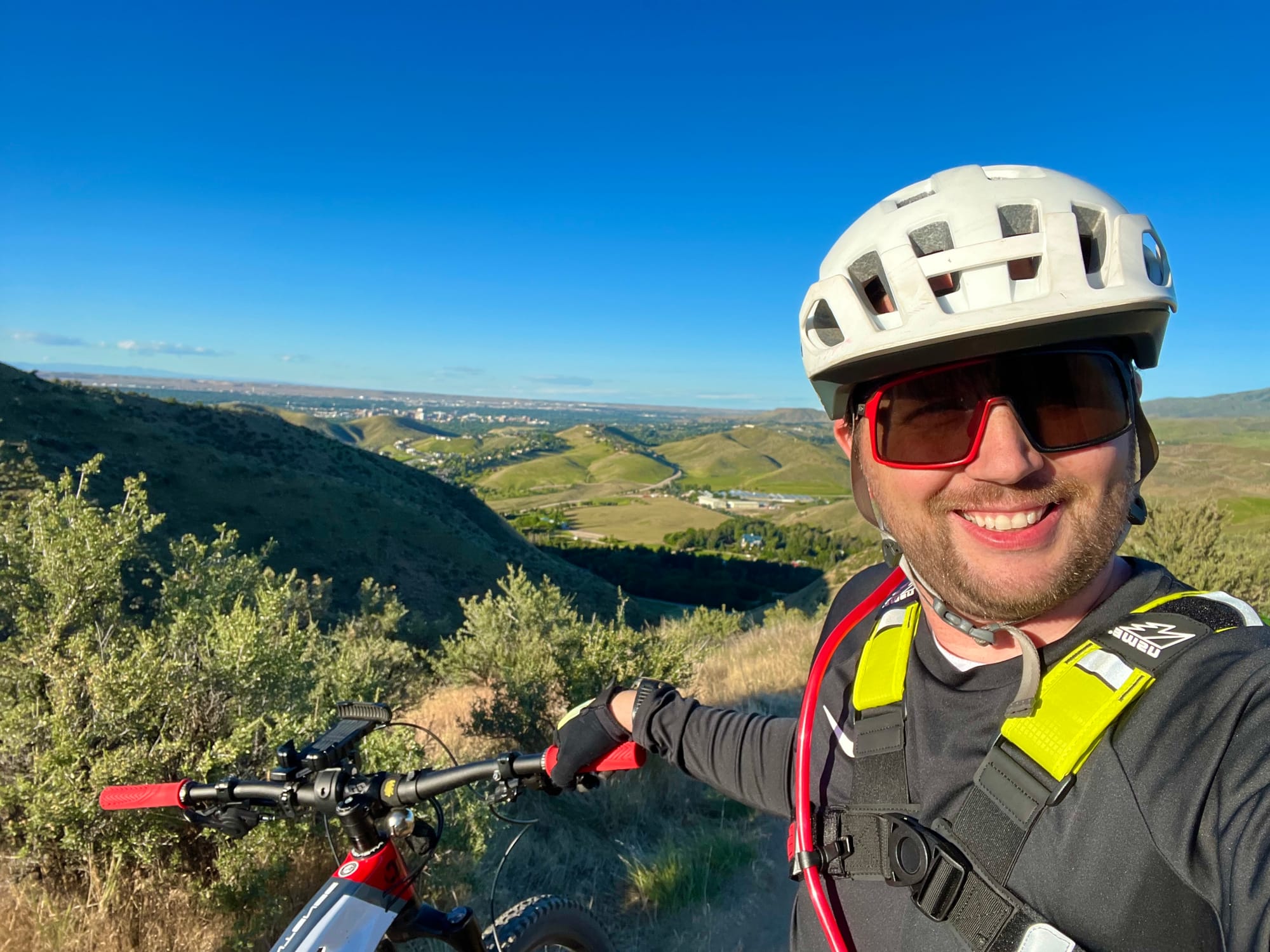
Enjoying the ride?
Your support helps me keep Filthy Casual MTB free of paywalls, so I can continue sharing all the local trail knowledge and adventures with you. If you’d like to help out, check out my support page and consider donating to keep the stoke alive!
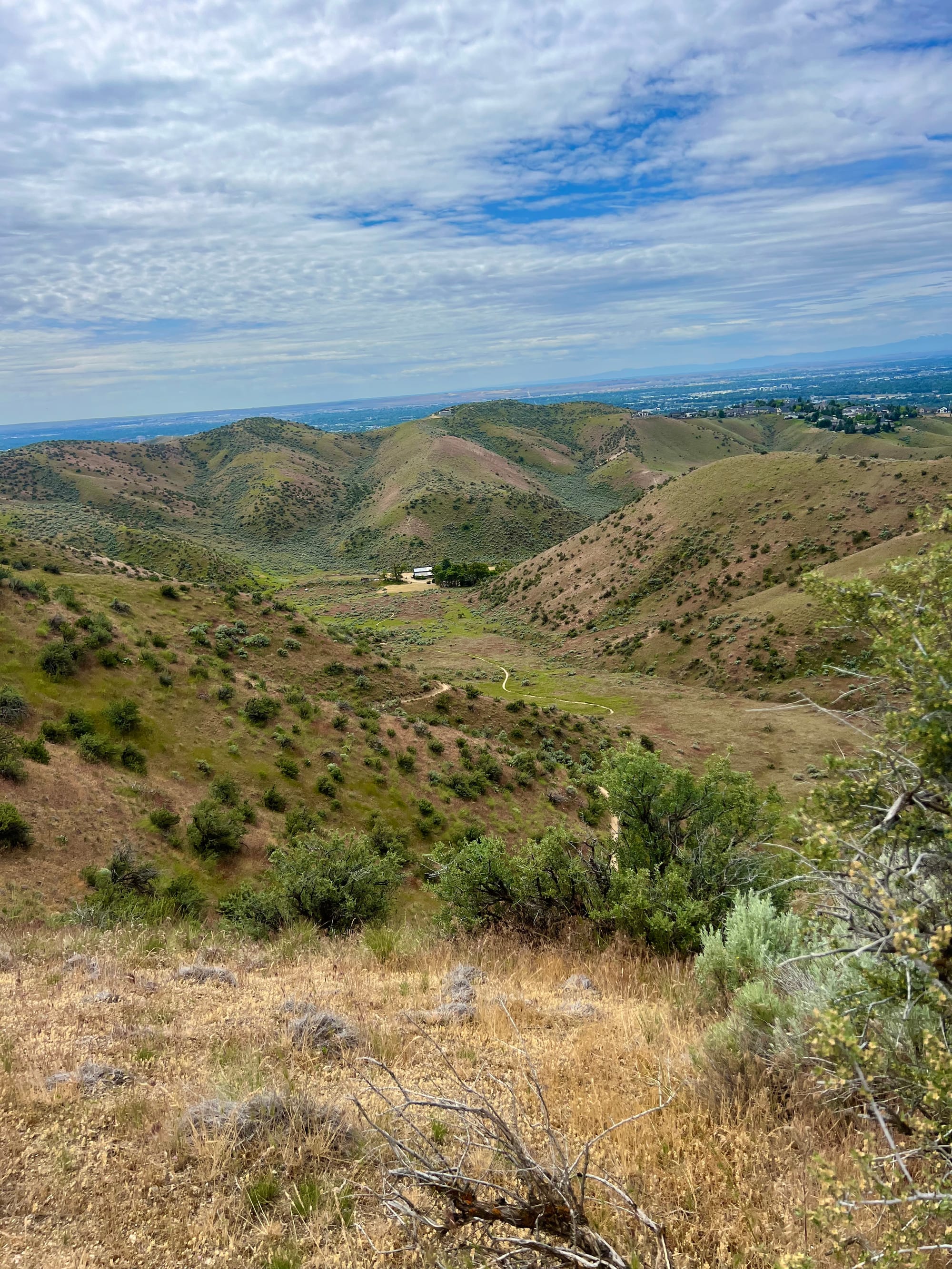
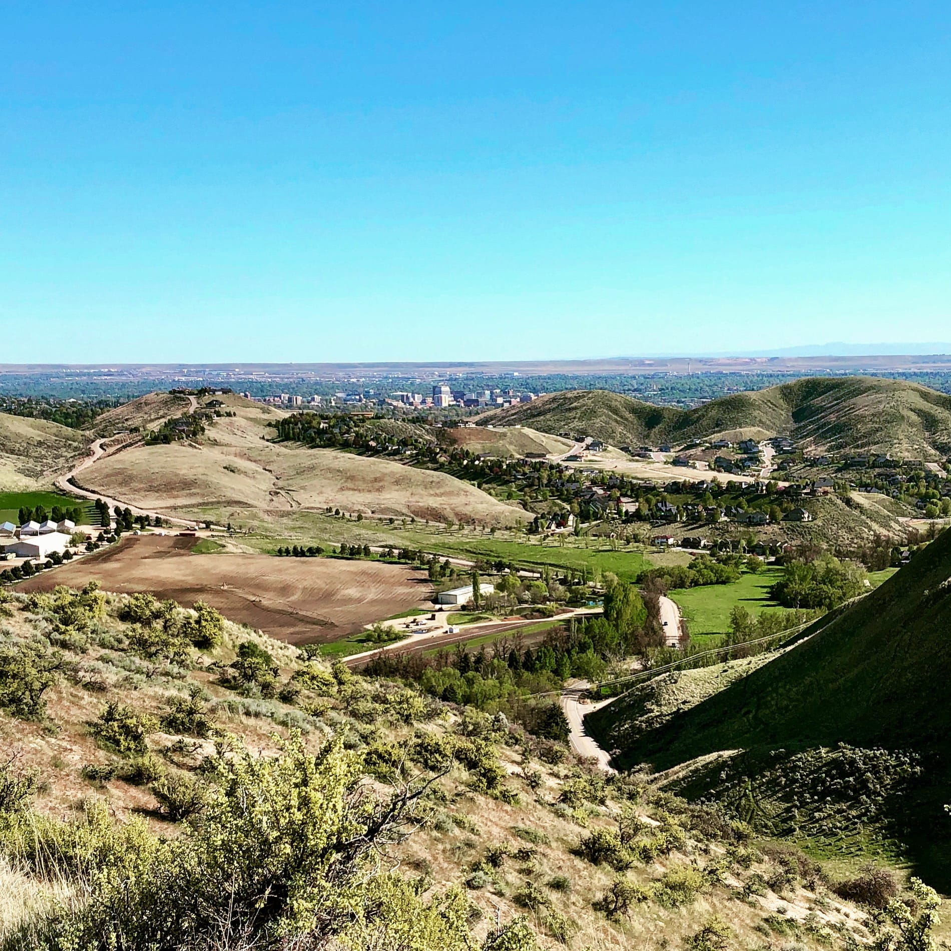
Survive the climb, and you’re rewarded with some killer views overlooking the farmhouse (see above). If you hit this loop around sunset, you’re in for some Instagram-worthy moments, seriously my camera roll out here is 80% sunset shots. From there, the trail mellows out with some flowy XC-style riding. Stay left at the junction with Doe Ridge and keep it moving. This part is a blast if you’ve got a buddy to chase, darting in and out of the draws, up and down with just enough flow to keep you grinning and pedaling. Just remember to watch out for the hikers on the corners with tall sagebrush.
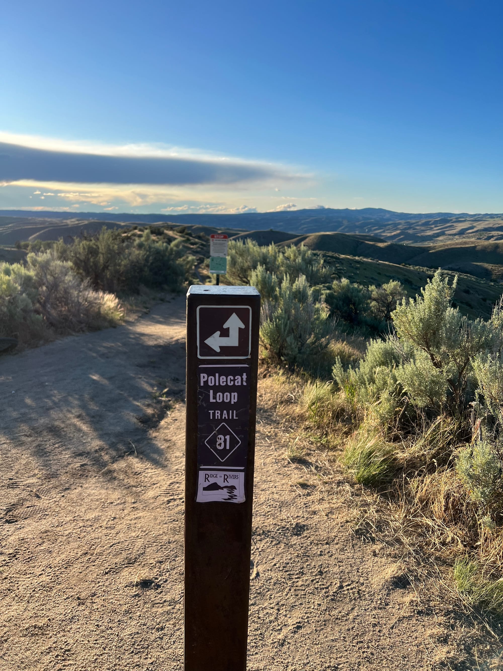
By the time you hit mile 5, the descent back to the parking lot kicks in, complete with some fun switchbacks berms to wrap things up. All in all, you’re looking at about 750 feet of climbing and 6 miles of trail, which you can bang out in 60 to 90 minutes depending on how spicy you like your climbs.
Want to follow this route on Strava?
Here is the link.
Ready to hit the trails? Check out my Strava page for all my favorite routes and recommendations, and don't forget to visit my website for the full details on each adventure. Strava is where I source the data, but my website is where you'll find everything you need to make the most of your ride.
Give it a follow, explore the routes, and let’s ride!
Forever two wheels.
-Myles
