Boise Mountain Bike Shuttle - Sweet Connie
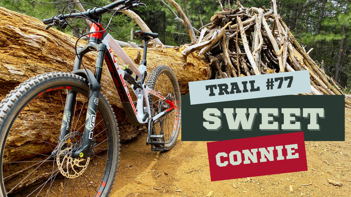
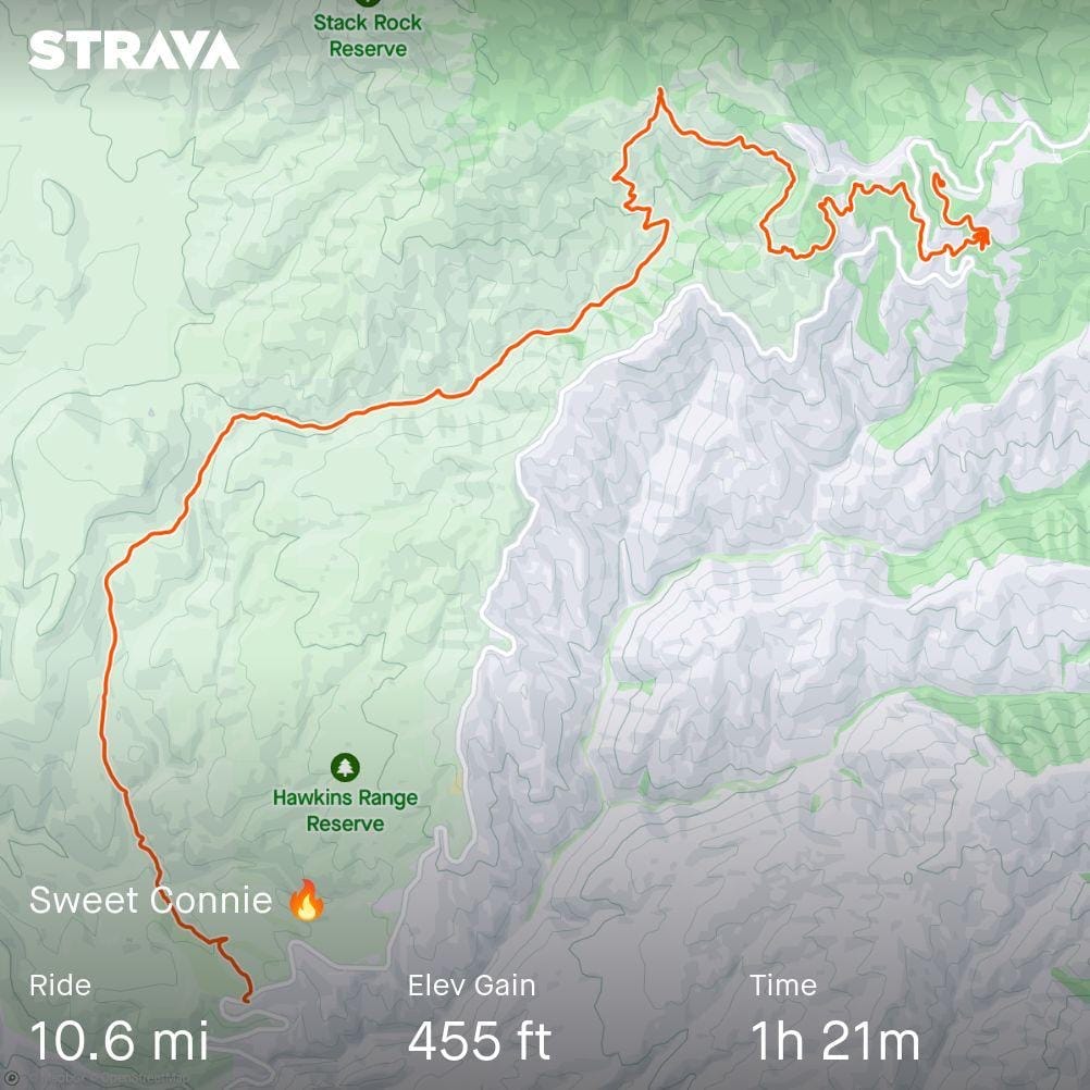
Welcome to my guide on the Sweet Connie self-shuttle route! Sweet Connie is a fun intermediate 10-mile ride in the Boise foothills. This route has a total ascent of 455 feet and a descent of 2,450 feet, this route takes less than 2 hours for an intermediate rider. We’ll start with key trail stats and photos, then move on to parking spots and directions to ensure a smooth and enjoyable ride.
A quick note: For those new to the concept of Self-Shuttling, a definition of self-shuttling is provided at the end of this blog. If you're already familiar, feel free to continue reading, or jump to the end to ensure you fully understand the concept.
Overview of Sweet Connie Route:
- Total Ride Miles: 10.6
- Total Ascent: 455’
- Total Descent: 2,450’
- Estimated Time: < 2 hours
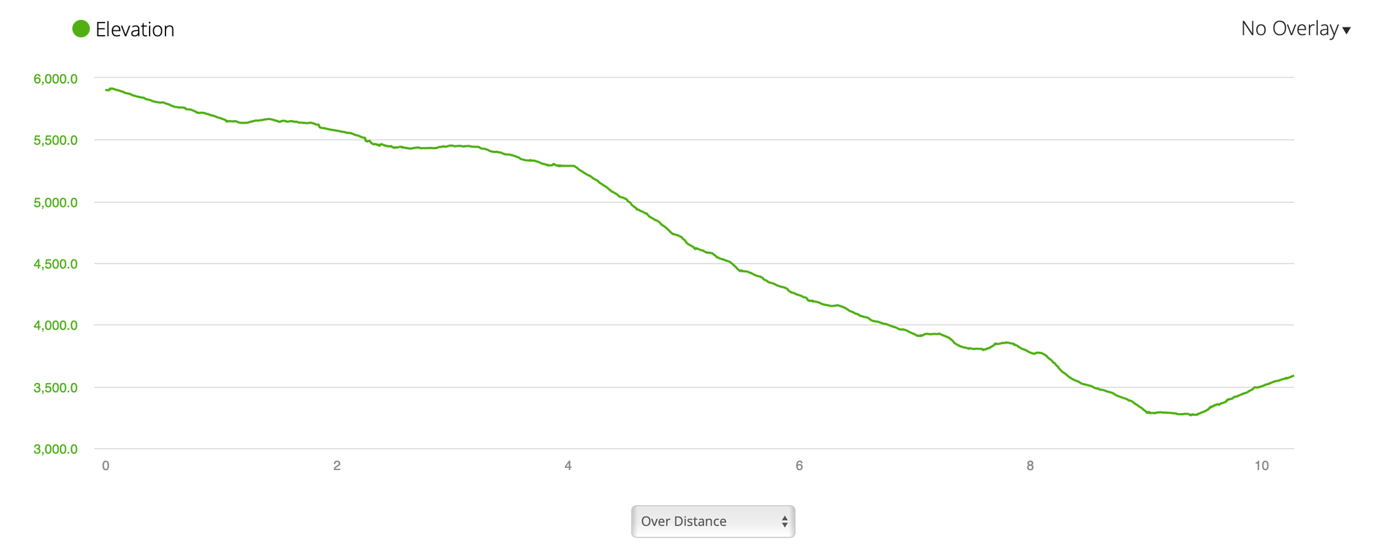
Sweet Connie elevation profile from Stack Rock Parking Lot to Sweet Connie\Dry Creek roadside parking lot
PARKING LOCATIONS
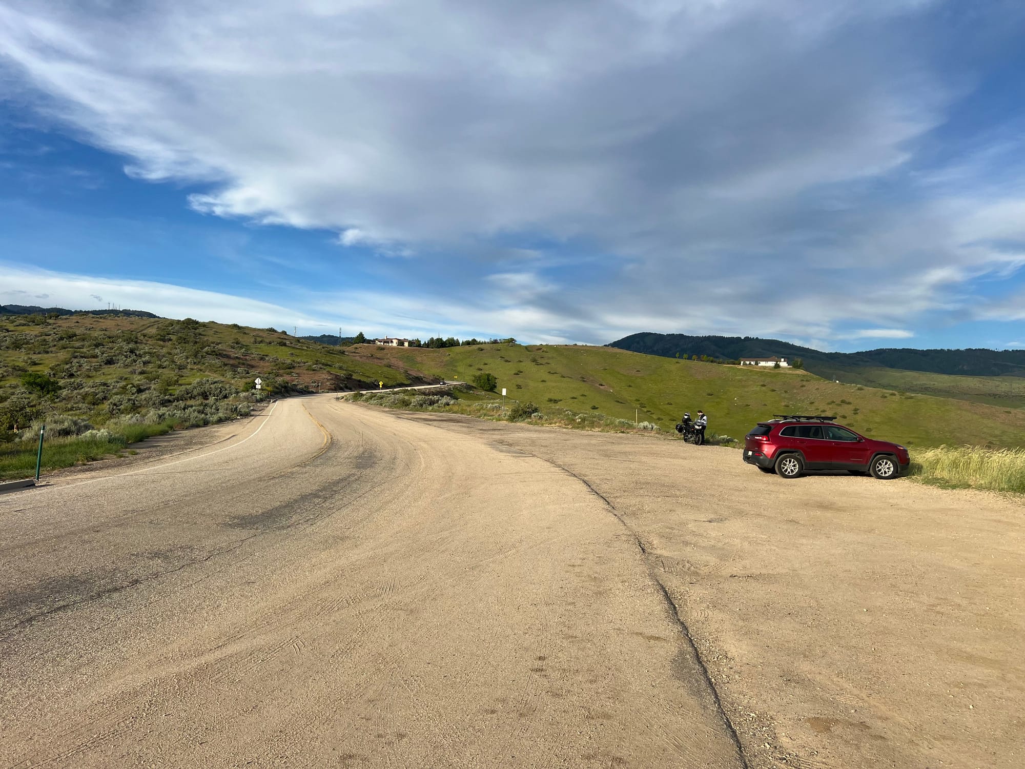
Your meetup car will be parked at the Sweet Connie and Dry Creek roadside parking lot. This spot is quite popular and tends to fill up quickly, so plan your ride early and anticipate a lot of vehicles. While this isn’t an official trailhead, it does appear on most maps like Google and Apple.
Your drop-off car will be parked at the Freddie's Stack Rock trailhead. While there's a roadside parking lot just below it, using that spot cuts off a fun, flowy section of the trail that makes for a great warm-up before you start your ride to Sweet Connie. I recommend parking at the official trailhead—there's a map, a bathroom, and it's much safer than the roadside spot.
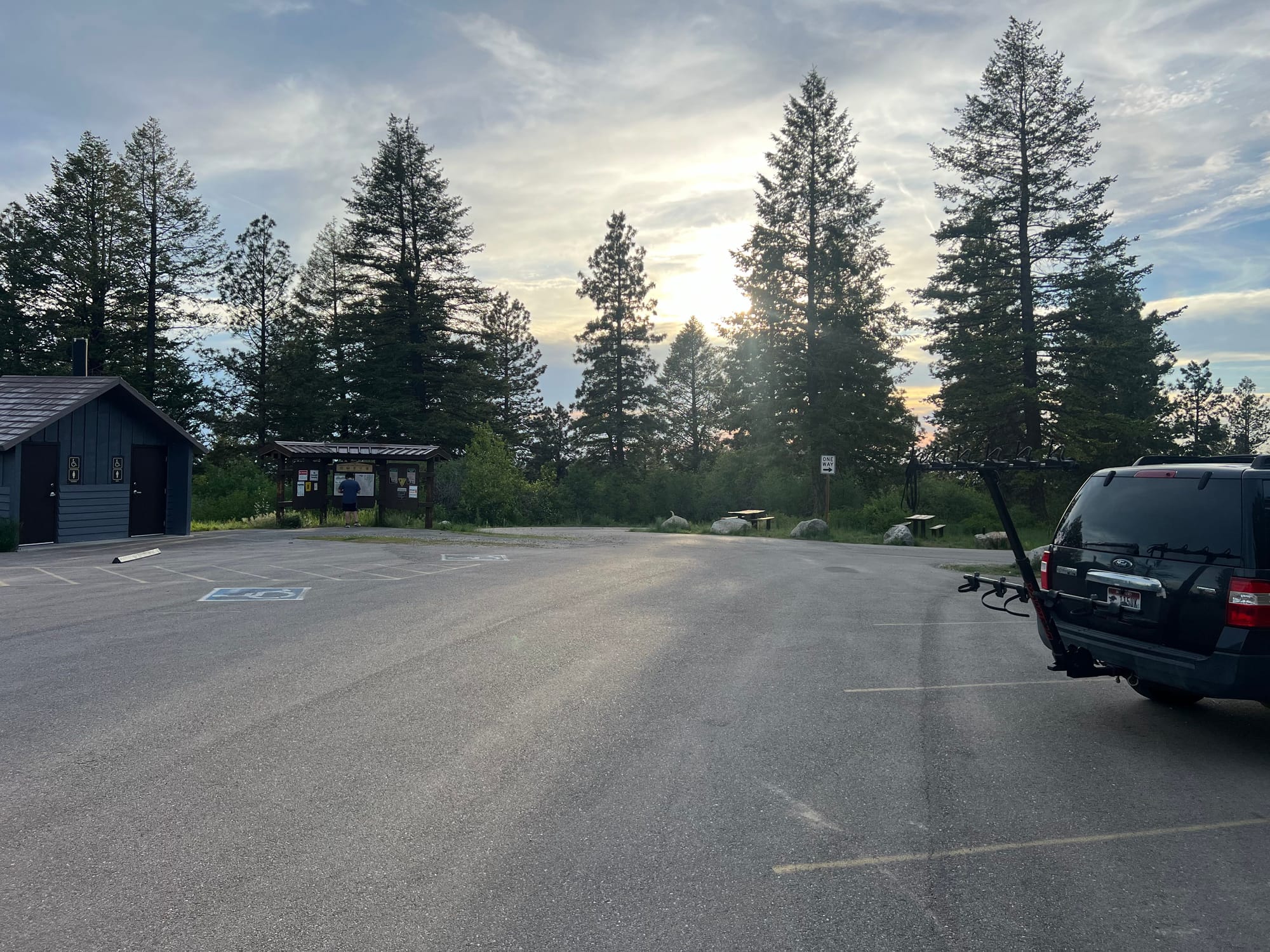
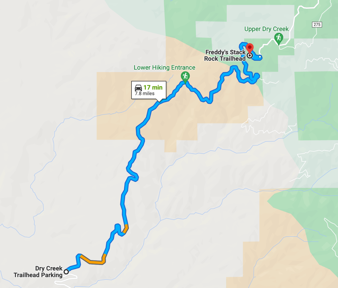
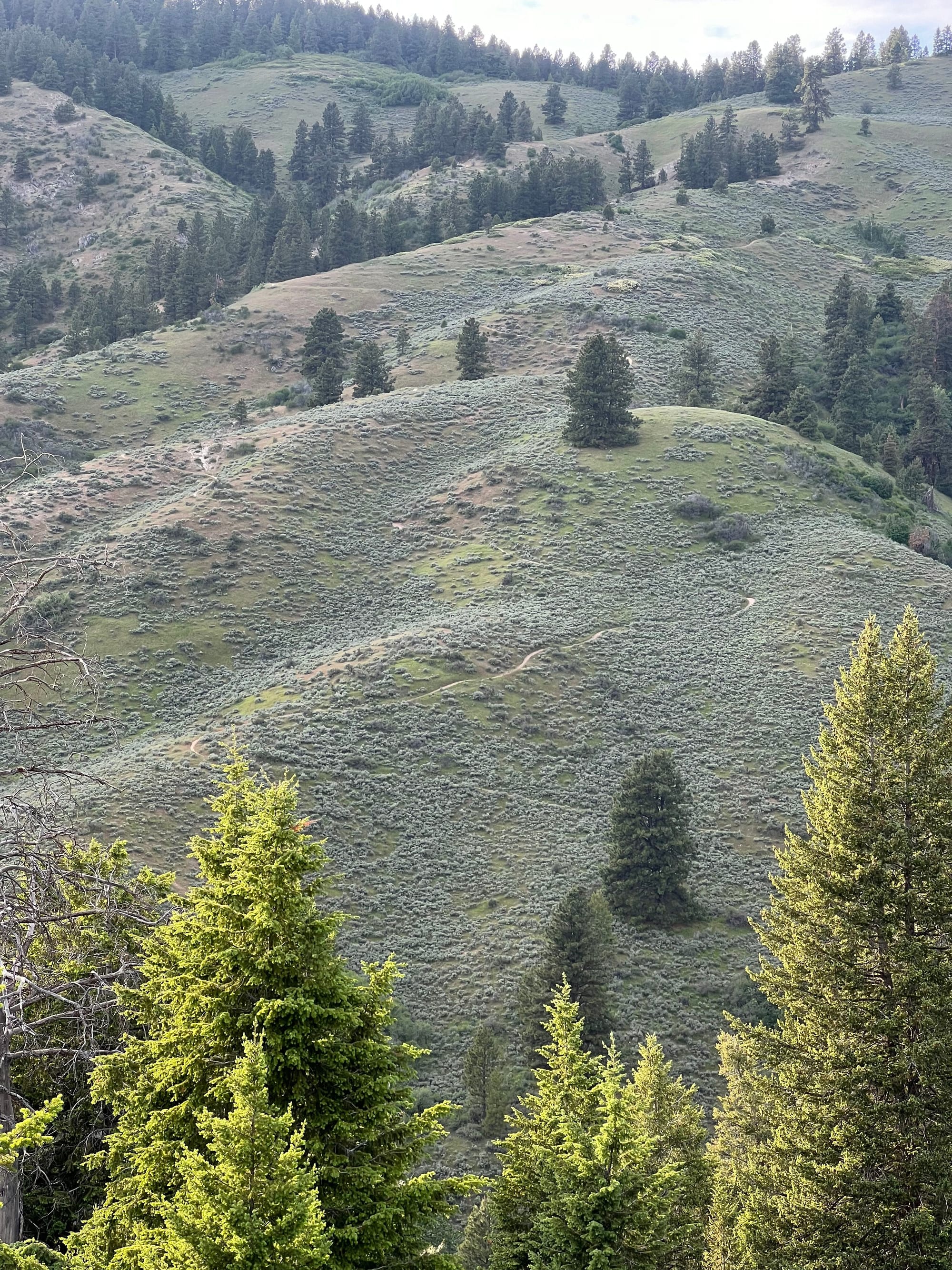
(left) Your driving route up Bogus Basin Road. (right) Sweet Connie trail as seen from the lower hiking entrance on the map.
The Adventure Begins
You'll begin your ride on the Freddie's Stack Rock Connector Trail, which is a very popular hiking trail. Remember, all bikes must yield to other trail users. It's a good idea to have a bear bell on your bike and keep your speed in check on this trail. You will likely encounter hikers and riders climbing up to the parking lot, so be sure to follow proper trail etiquette and respect everyone's enjoyment of the trails.
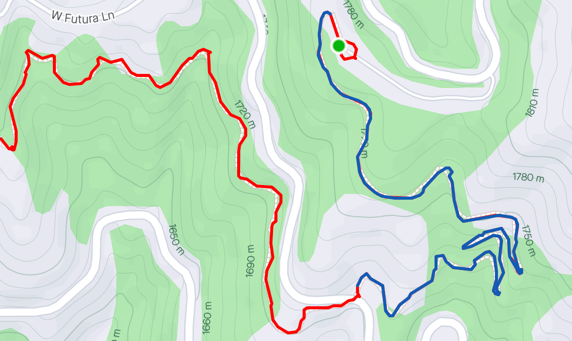
The ride starts at the Freddie's Stack Rock parking lot with a mile long fun switchback filled descent to Bogus Basin Road (photo above). Cross Bogus Basin road and continue onto Freddie's Stack Rock Connector Trail. This 2.6-mile section includes around 200 feet of climbing and serves as a great warm-up before the Sweet Connie descent.
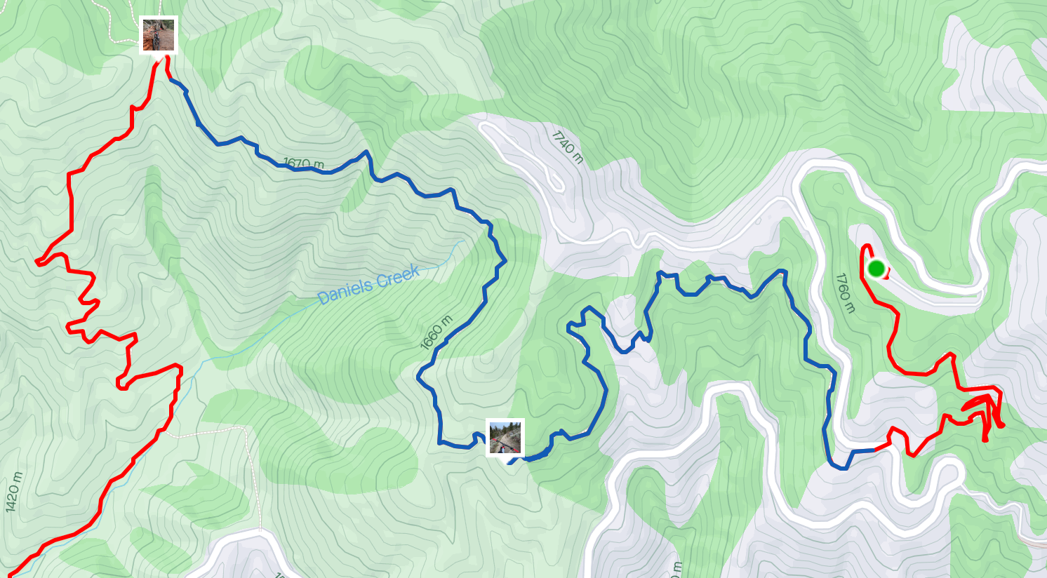
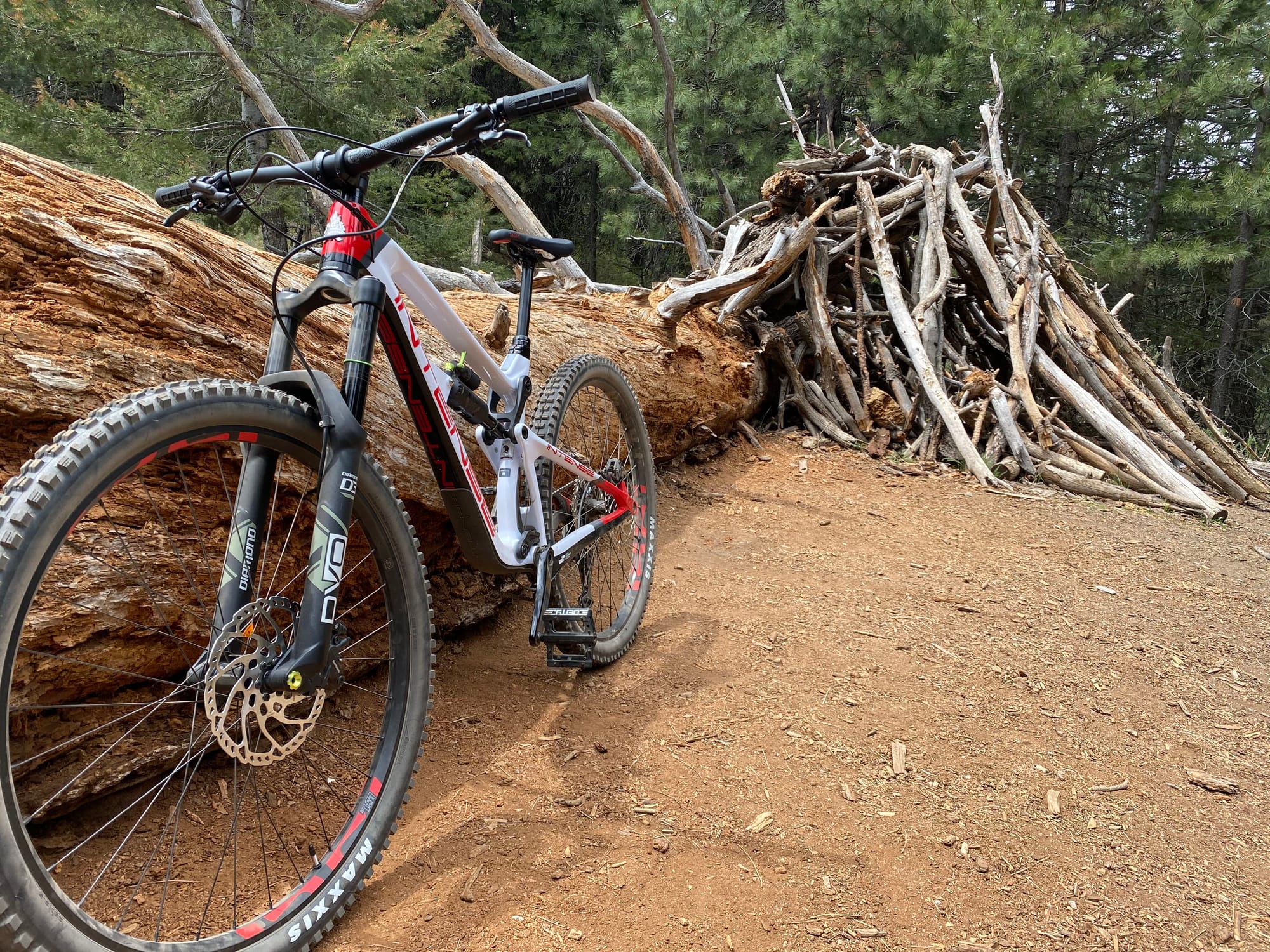
At the Sweet Connie junction, you will see a big downed tree and a small wood hut turn left and head downhill. This is where the fun begins, enjoy the speeds and flow as you descend over 1,300 feet in the next 3 miles.
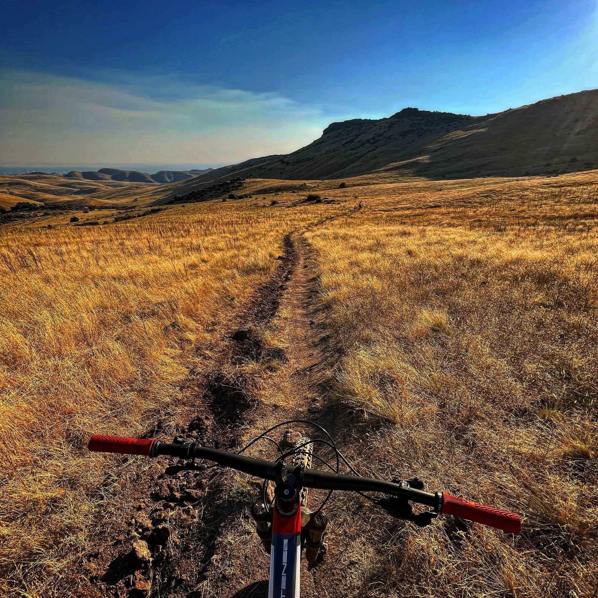
This downhill section offers some of the best views in Boise, Idaho. As you descend the mountain and navigate fun, flowy switchbacks. You will go through a couple of creek crossings before beginning the climb towards the rock garden and eventually passing Chukkar Butte trail junction.
GoPro footage of the downhill section on Sweet Connie Trail.
This GoPro footage ends a few minutes before the picture below. Once you connect to the short road climb and descend the power line trail (or go take the bypass) you will arrive at a gate -remember to close it- and then climb up to the rock garden.
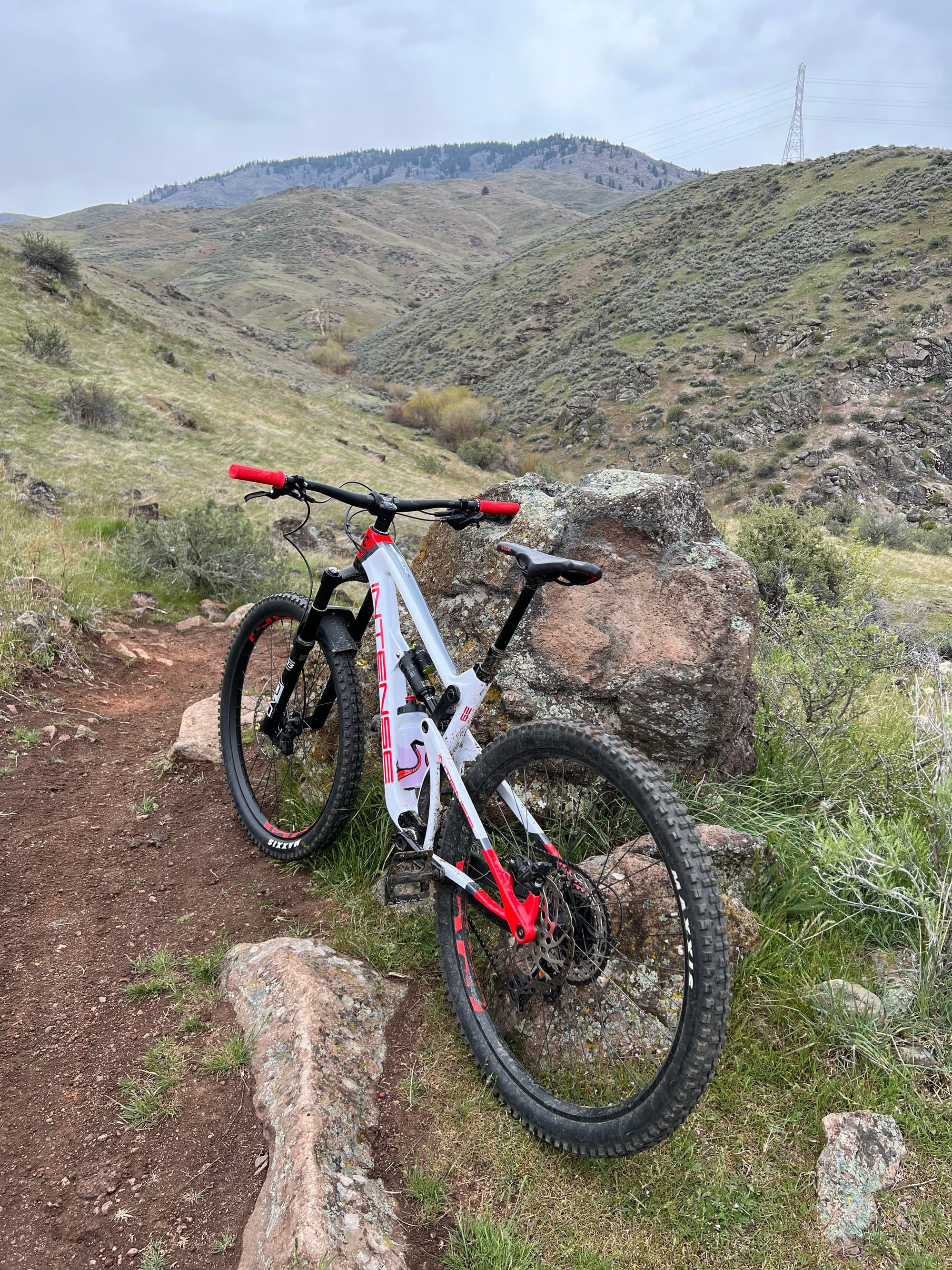
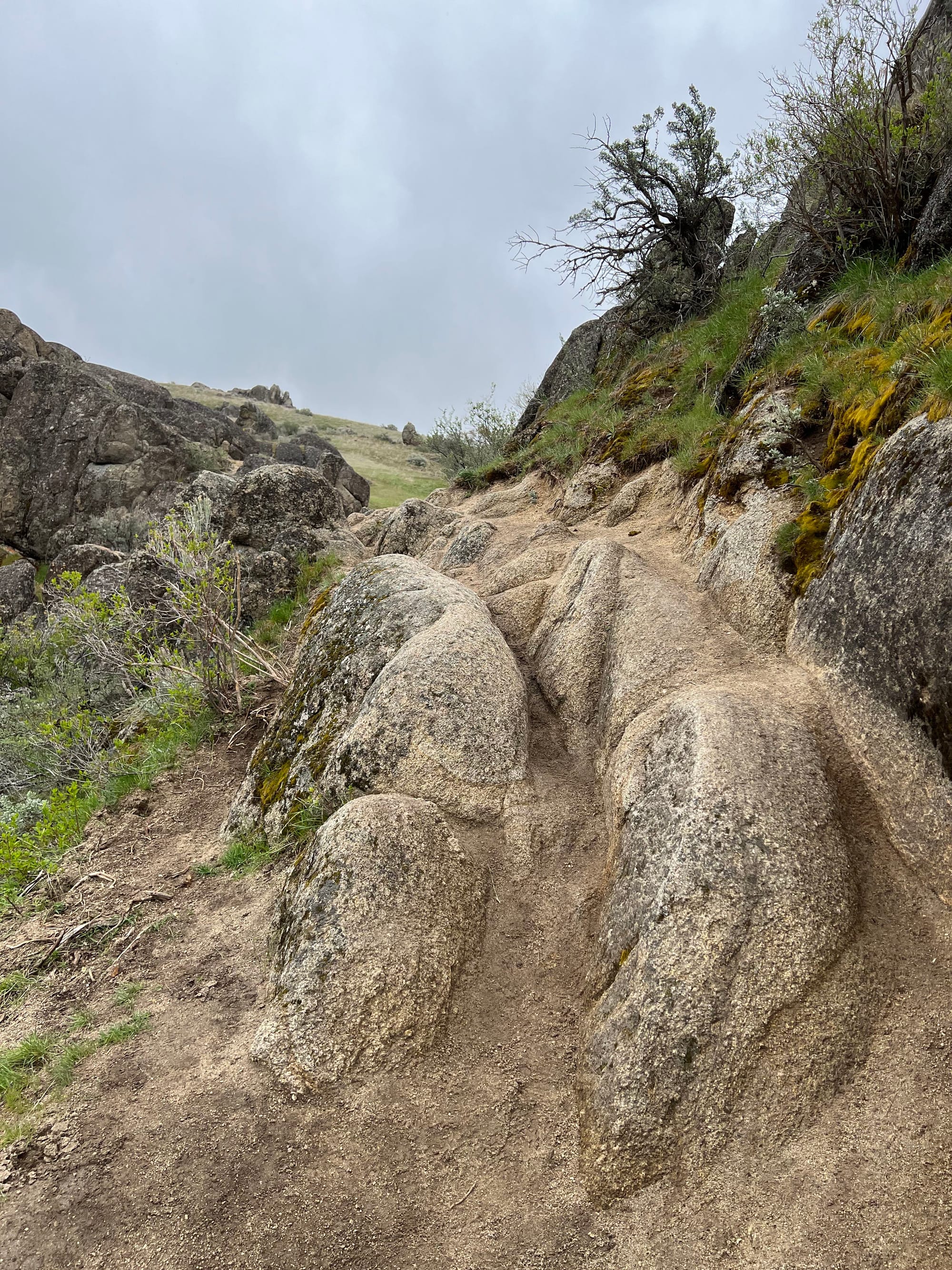
As you pass the rock (pictured above), you'll enter the rock garden on your way to Chukkar Butte Trail. This section can be a bit tricky due to loose rocks, so take your time and enjoy the views. Stay on Sweet Connie Trail the entire way, passing Chukkar Butte Trail and Peggy's Trail on your right.
Your ride is nearly done. After you pass Peggys trail it's all uphill from there. The final climb to the parking lot is about 1.5 miles with about 300 feet of climbing. You will encounter a couple of sections during this part of the trail where you'll need to hike your bike due to steep and slick rocks. Be mindful of your foot placement, especially if you're wearing clipless shoes, as you navigate this area.
This wraps up my guide to the Sweet Connie self-shuttle route. With its stunning views, exhilarating descents, and a few challenging sections, this trail offers a fantastic adventure for intermediate riders. Remember to respect trail etiquette and enjoy the ride.
If you enjoyed this blog post and want to see more detailed guides on Boise's best biking routes, be sure to subscribe to my blog.
Stay tuned for more detailed guides on other routes in the Boise area.
-Myles
What is Mountain Bike Self-Shuttling?
Self-shuttling typically involves two cars: Car 1 is parked at the bottom of the trail (this is your meetup location), while Car 2, carrying the bikes and riders, drives to the top parking spot (your unloading location). Car 2 is left at the top, and the group rides down the trail back to Car 1. Then, two people take Car 1 back up to retrieve Car 2. With that in mind, lets take a look at some of the options available for self-shuttles on Bogus Basin Road.
